Concord Parks & Recreation shared their top 5 trail runs with us so for people who don’t understand the appeal of nature, let me shed some sunlight on that for you:
-
You can fart freely and no one will judge you more than usual.
-
The Japanese call it forest bathing. For real! It’s a thing. It’s aka Shinrin-Yoku and I think it has something to do with a bunch of Japanese yoga people running naked through the forest.
-
You can hallucinate without any substance! It usually is of sparkling reflections off of your car bouncing through the trees and when you get closer, you realize – Nope!
-
You can finally slow down for fox sake! Slow your roll! Chillax! Take in all in!
-
It’s character building. You might over-commit every now and then. Usually by the time you realize you’ve gone too far, you have no choice but to finish what you started.
When we first approached Concord Parks & Recreation for ideas for their top trail run recommendations, we smugly thought for sure we knew what they would say. What they came back with totally surprised us! Some of our loved Concord trails that we routinely run on didn’t make their list at all. We had to put this list to the test.
We tested all five of the City’s recommendations completely. This means making eye contact from ten feet with a black bear ripping at a tree, totally taking a couple hard diggers that left us looking like we were trapped in a bag with a cat, and having to rely on our night vision as we failed to chase daylight effectively.
All in all, our verdict is that Parks & Rec knows what they are talking about. Each trail system they recommended is nothing like the other. There are actually 28 different parks with trail systems in Concord alone and all the maps are available on their website.
Here are their recommendations with our 2 cents (where is the cent symbol on a keyboard?):
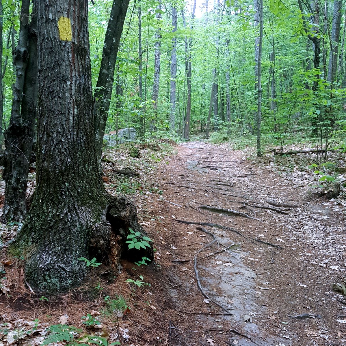
Trail Name: Batchelder Mill Trails
Run Distance: 2 miles
Finding the Trailhead and Parking: To get to the Batchelder Mill Road Trail from East Concord, take Shawmut Street from Route 132 at the outlet of Exit 16 on I-93. Go about 0.5 miles down Shawmut from Route 132. Turn right onto Batchelder Mill Road. At the end of the road, there is a small area to park. Park opposite this area, but make sure not to block the driveway of the house at the end of the road. Proceed to the small bridge over Mill Brook. OR, from East Side Drive take Portsmouth Street easterly to South Curtisville Road and turn left onto it. Drive past the entrance to Broken Ground School. The gated end of North Curtisville Road will soon appear on the left. Park alongside the approach to gate and walk up North Curtisville Road. The entrance to the trails is about 800 feet up the road on the right.
Brief Description: http://www.concordnh.gov/Facilities/Facility/Details/66
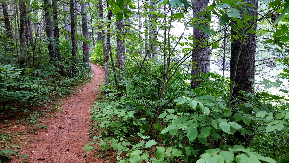
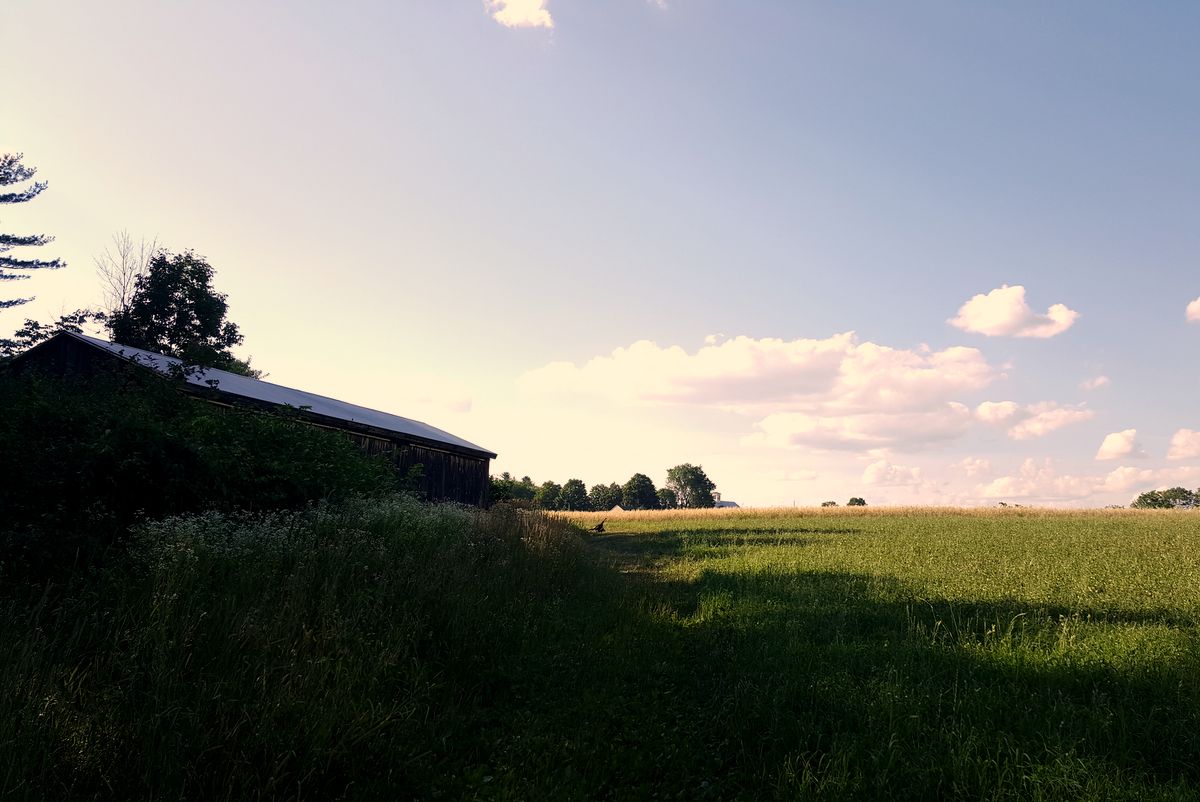
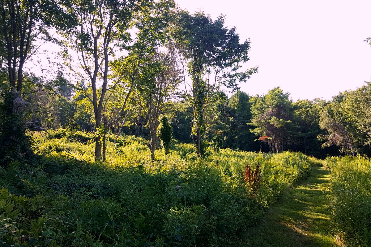
Our Review: The tale says that a few hundred years ago when prisoners would escape, if they made it through the mighty Merrimack and into these Dark Plains, they would never be seen again! If you run the red loop five times around, then you are ready for our 10 Miler Race!! Sounds a little like Ground Hog Day training so we suggest that you instead use this super soft, pine needle layered, cozy and mostly flat trail system for easy taper runs, active recovery, and possibly in conjunction with the Conservation Center Trails off of Portsmouth Street. This is definitely a gorgeous little network of trails that is equipped with overlooks and very easy to follow blazed trails. We ran it under light mist and it felt just like a refreshing enchanted forest.
Trail Name: Oak Hill Trails
Run Distance: up to 7 miles
Finding the Trailhead and Parking: Take exit 16 off 93N to the stop sign. Take a left onto Mountain Road. Take the second right onto Shaker Road. The trailhead to the Vista Trail is in the southern former log yard on Shaker Road. The trailhead to the Upper Trail and Dancing Bear Trail can be found further north along Shaker Road. Or, park where the trail begins off of Oak Hill Road
Brief Description: http://www.concordnh.gov/Facilities/Facility/Details/63
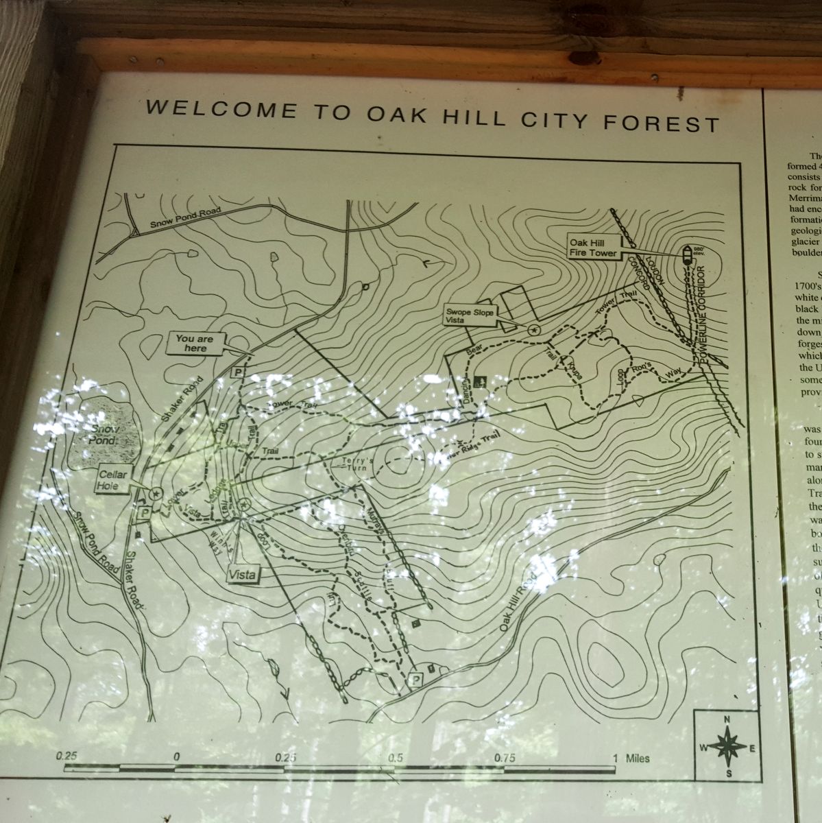
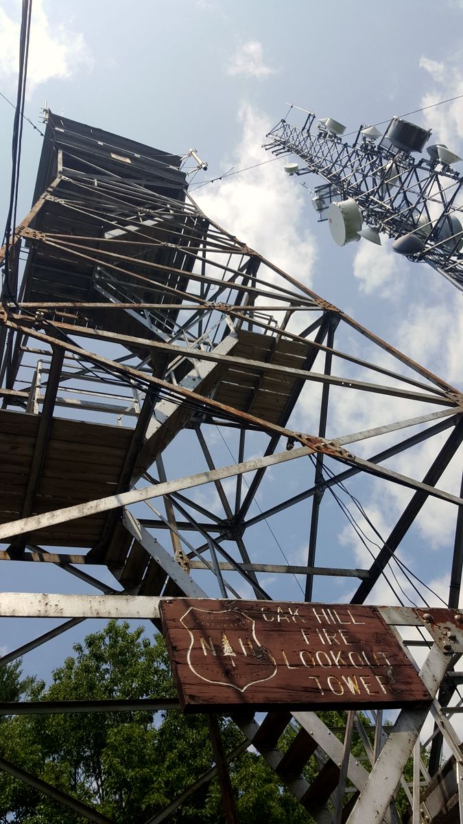
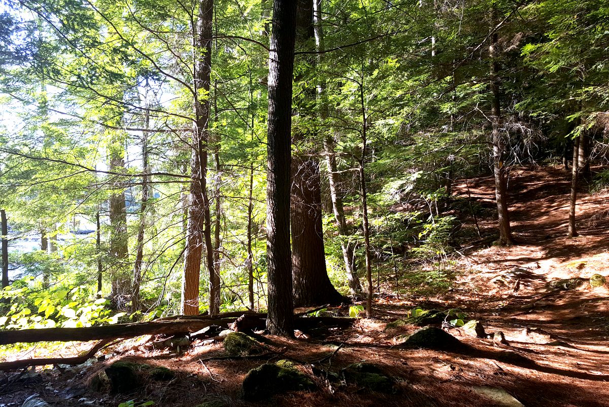
Our Review: This forest was badly damaged by a Gypsy Moth infestation in the 1990’s which took out many of the Hemlocks and Oaks. Be prepared to feel a little like Thomas the Tank Engine up a 980’ hill. We suggest not going all out at once and instead conserve for that final climb. More importantly, conserve for the way back down the trail since it is definitely rocky and rooty and a fall risk (Yep, we wiped out here). If you keep your ankles strong and your knees high, then this will, no doubt, become your favorite cardio training hill routine in Concord. There are so many combinations that you can make out of this very well maintained network of trails and the reward is the view from the top of the fire tower and your newly discovered lung capacity!
Trail Name: Jim Hill Riverwalk
Run Distance: 5-6 miles
Finding the Trailhead and Parking: From Penacook, take Washington Street and River Road. Cross the Horse Hill Bridge over the Contoocook River. The Horse Hill Grange is uphill from here. Take the next left onto Runnells Road. Just before the end of Runnells Road is a field on your right. There is a small clearing to park your car. The second access is off Horse Hill Road. From Runnells Road, continue on Horse Hill Road for about a mile. At the top of a small hill is a sharp turn. The Lehtinen monument is on the left. Park in the small area near the monument
Brief Description: http://www.concordnh.gov/Facilities/Facility/Details/53
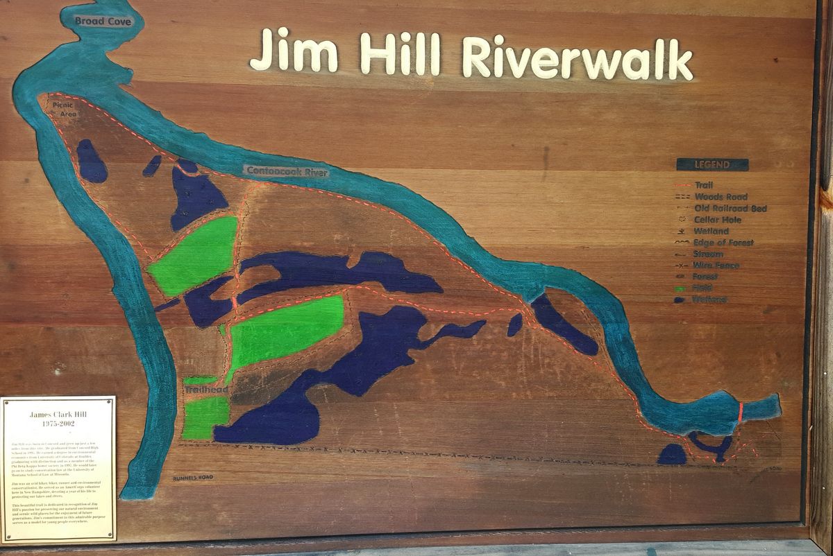
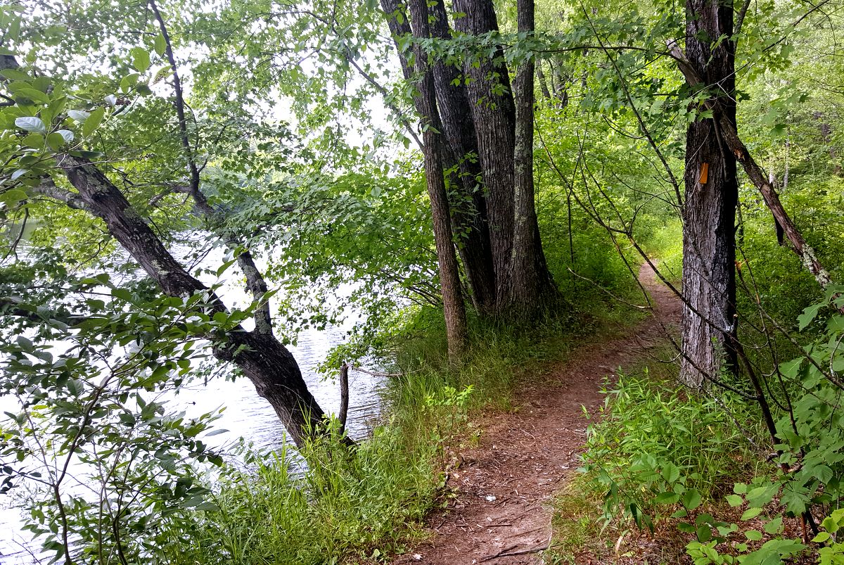
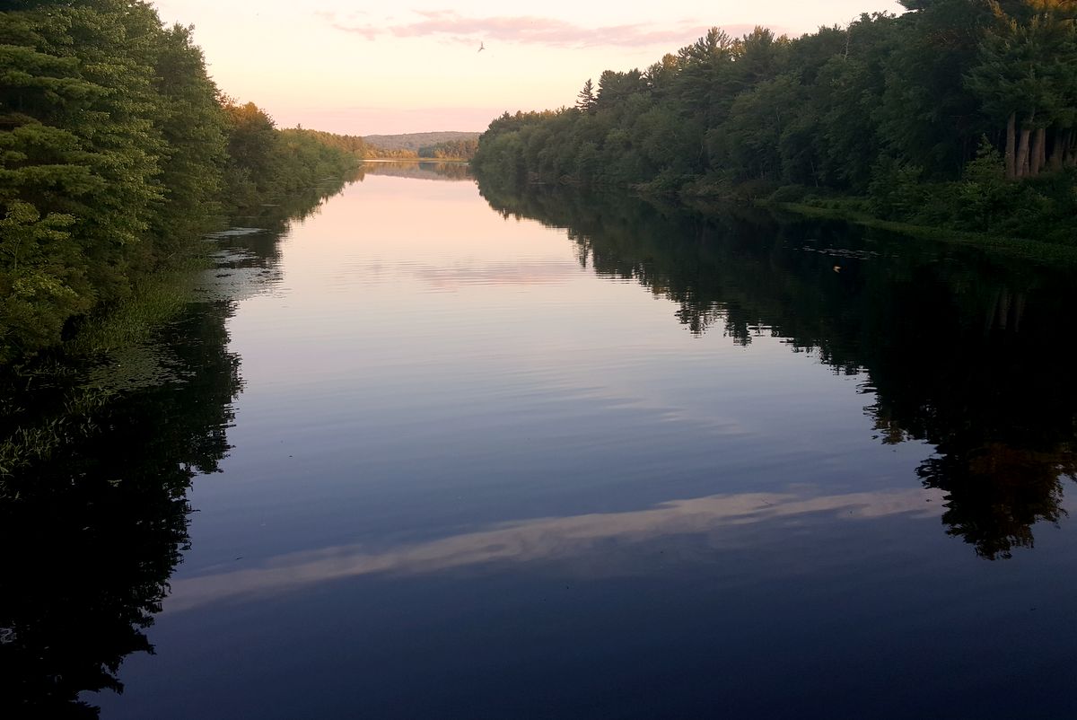
Our Review: This Riverwalk got its name from a much loved conservationist and adventurist from Concord who passed away in 2002. We’ve never even heard of these trails! It was even more exciting to choose to run this trail on a hot summer day. You start out frolicking through a field filled with the aromas of wild flowers and then you abruptly dive into a dark forest and over wooden foot bridges. Before you know it, the trail all but dumps you into the Contoocook River. You literally follow this river the entire time passing through beaches with rope swings that entertain kayaking guests of the Contoocook River Company. Eventually, the trail brings you to bridge called the “New Hampshire Heroes Recreational Crossing” that connects to an even larger network of snowmobile trails. Running these trails was just so much fun and they were mostly flat so you can really get into a rhythm.
Trail Name: West End Farm Trail and Connector Trails (WEFT)
Run Distance: up to 14 miles
Finding the Trailhead and Parking: There are several locations to park and access the trail, including Carter Hill Farm on Carter Hill Road; Parking is available to the east of the yellow barn at Dimond Hill Farm. Continue north past the picnic tables to the stonewall. At the stonewall continue straight through the next field and continue north to the woods road; Parking is available along Silk Farm Road near the entrance to the paved bike path. Follow the paved bike path to Stickney Hill Road.
Brief Description: http://www.concordnh.gov/DocumentCenter/View/6216 and http://www.concordnh.gov/DocumentCenter/View/1263
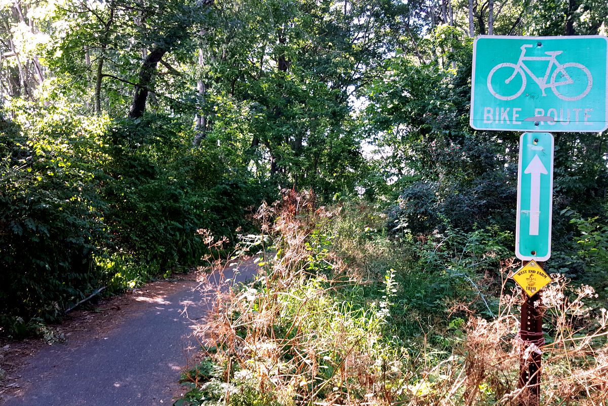
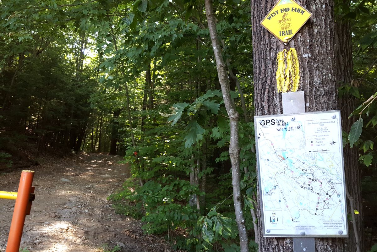
Our Review: We did the entire thing at once and our measures came out longer than 14 miles so I think we did an accidental extension. Never have we had so much wildlife on a run, ever! So we spooked a rafter of turkeys, we disturbed two red-tailed hawks that continued to communicate to each other over our heads, ran through a field that we think was growing geese instead of plants, two deer, and that bear that was happily grunting and feasting on bugs in a tree when it decided to do a short staring contest with us. Note to self – trail miles travel slower than road miles so a headlamp might not be a bad idea. There are some logging projects going on near the start where you go into the woods after then I89 bike path but you can quickly and easily go through it into a pristine forest.
Trail Name: Winant Park
Run Distance: 2-3 miles
Finding the Trailhead and Parking: The main parking area is located at 38 Fisk Road. Travel westerly on Pleasant Street, cross through the Pleasant Street/Langley Parkway intersection, and continue in a westerly direction. Take the next right onto Fisk Road. The parking area will be approximately 0.15 miles on the right.
Brief Description: http://www.concordnh.gov/Facilities/Facility/Details/72
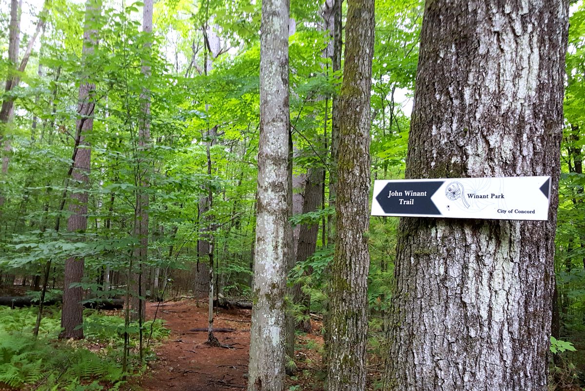
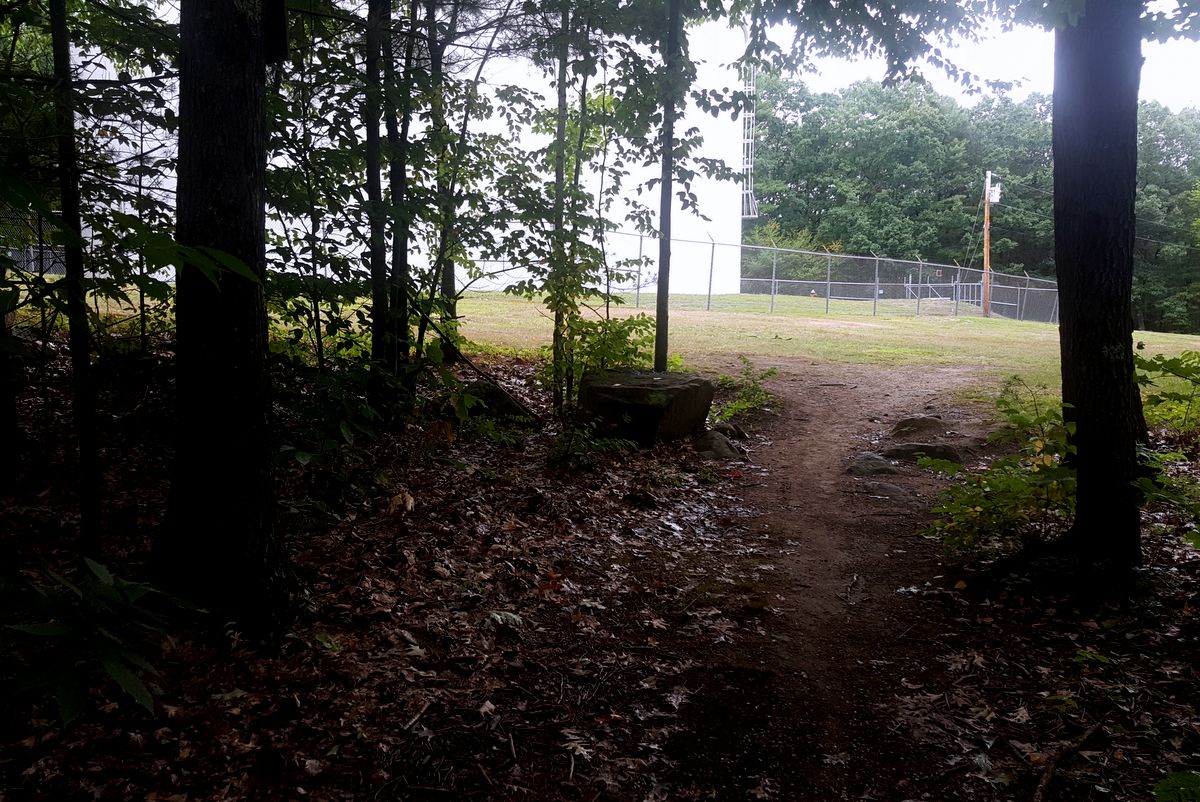
Our Review: This is a trail system that we have experienced regularly with our Tuesday runs with the Granite State Racing Team for hill training behind the hospital side to the water tank and back. We’ve also chosen to run the trail that parallels Pleasant Street just to bypass sections of the busy road. This was the first time that we really went into Winant Park in detail. Different trails are named after members of Governor John Winant’s family. Governor Winant was probably one of the greatest Governors New Hampshire has had the privilege to have. He was born in 1889. He served in World War 1 and then he became the nation’s youngest governor and served New Hampshire from 1925 to 1932 during the worst years of the Great Depression. After, he worked with President Roosevelt and was appointed to important international ambassador and director positions where he helped to protect refugees from Nazi dangers and to smuggle them out of Switzerland and he served Britain during the worst of the German night bombings. The trail named for Joan Winant was once a Concord ski trail. You can still see the hardware in the trees as you bank your turns up the hill ending at a beautiful overlook. Despite the criss-crossing mountain bike single track that zigzags all over the place, the actual trails for running and hiking are clearly blazed and are easy to follow. This park is perfectly accessible to Saint Paul’s School, where Governor Winant went to school and taught history early in his career. Runs can be extended by crossing through Saint Paul’s to connect to the West End Farm Trail.
You can always identify a person who never goes outside. We get the strangest questions and are prepared to give some strange answers back:
“Aren’t you afraid of bears?” – Well, rednecks score a little higher than bears really but the assumption is that I can run faster from a bear than a redneck can.
“What if you get lost like that movie with the guy with the arm?” – Umm, okay, I’ll pack gummy bears.
“Weirdos are in the woods!” – There is a quote out there somewhere that says that Running is a mental sport and we are all insane.